Monday, April 24, 2006

The Fleet


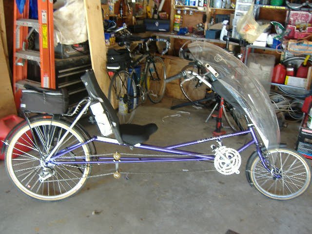
1998 Rans Stratus Posted by Picasa

Monday, March 27, 2006

First riding of the season


March 26, 2006 Sunday bike ride. it was very cool and windy.
On Saturday I rode and my feet got very cold from the wind blowing through my riding shoe. As it is designed this way. So instead of paying 40-someodd bucks for the neoprene overboot I just slapped on two pieces of duct tape to block the wind. and it worked great.

Is there anything duct tape can't fix?

Posted by Picasa

Tuesday, March 21, 2006


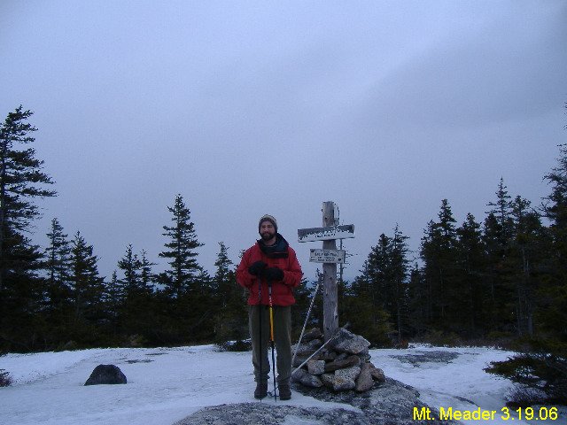
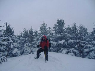
Mt. Meader (2782'). Seemed taller. But this was a fun hike. a good easy trail day. thou, the upper 0.7 mi of the trail was pretty icy. Posted by Picasa

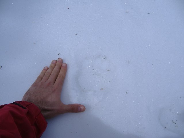
Bear Track Posted by Picasa

Friday, March 03, 2006

How To Draw Mohammed


Posted by Picasa

Stretched Andalusite


Posted by Picasa
This pic I took shows an andalusite crystal that had been stretched (extension) then recrystalized. D1--> M1 (well in this stand alone frame). The yellow oultine in figure B highlights the exterior white muscotive and andalusite cores.

Thursday, March 02, 2006

Masters Thesis


In 2004 I completed my Masters Degree from SUNY Albany in Geology.
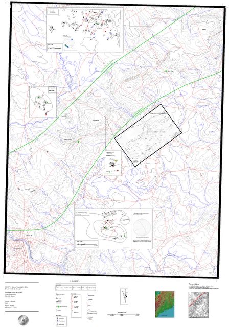
This is the map I made. I made it by converting the topo quad of some type of GIS file to a CAD file. Then I was able to add all kinds of overlay info. I figure I have at LEAST 100 hours into it. The quad is skewed about 3 degress clockwise because it was a bum scan and I didnt fix it when I did the map. Whatever.
To read my abstract click HERE.
Posted by Picasa I plan on posting more of the thesis here in the future. I have many cool photos (PPL and Cross Polar Photomicrographs) and diagams that'd make for entertaining viewing. Next Ill post a larger version of the slanted center inset graphic on this map. It shows some real cool deformed quarts veining, strong foliation and a granite dike.

The basic concept I belive I discoverd is that this section of the Norumbega Fault Zone shows evidence of sinistral (left lateral) deformation. As opposed to dextral (right lateral, like the San Andreas) motion.

Tuesday, February 28, 2006

Mt. Field


Mt. Field (4340'). For this hike myslef, the Halforc, his wife and Mugsy left from the Crawford Notch Visitor Center up the Avalon Trail, over Mt. Avalon (3442'), to Mt. Field. We decended the loop via Mt. Willey trail to A-Z trail and out on Avalon. Posted by Picasa It was a 5.9 mile day. Temps at the peak of Field were ZERO deg. F. with a -30 wind chill.

Then there was the ride home. Just as we got on to 302, I started to snap in to my Slim Jim. I drifted out of the car tracks and into the snow, on a bend in the road. THe ass end of my Tercel went right, I counter steered. Then we started left...and left and left. We were now in a 360 death spin. Mugsy is saying "WE'RE FUCKED!, WE'RE FUCKED!, WE'RE FUCKED!" I slamed on the breakes. We came full circle...the guard rail was approacing...and we stopped. *ting* inches from the guardrail, in a small snow bank. No damage, other than shitting in my pants. I backed off the side of the road and continued with no problems. No harm, No foul.

Wednesday, January 25, 2006

Jan. 25, 2006


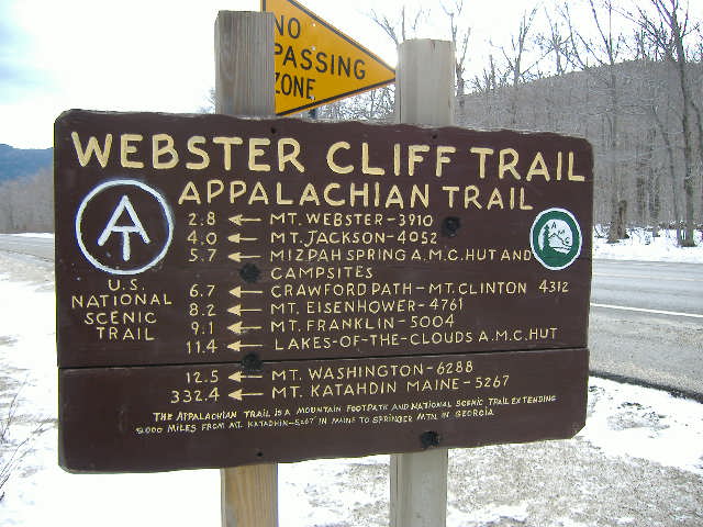
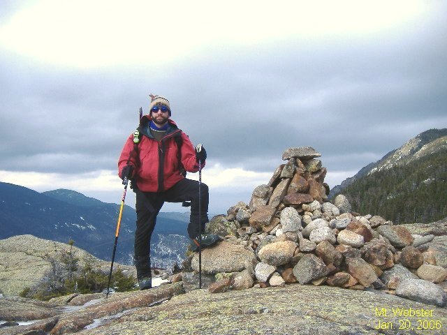
On Friday (1.20.06) I decided to skip work and go hiking. Solo, as i was unable to coerce any of my friends from doing the same. Oh well. Thier loss. The day was beautiful for hiking. Mild temps (mid 30's) some sun. So, anyway, i took my self to Crawford Nocth and took the Webster Cliff Trail to Mt. Webster (3910'). I could have gone over to Jackson ( Visible in the background of the peak photo), but decided to back because of timing reasons.

6mil round trip. 2.75-hrs. up, 1.75-hrs down